IMPORTANT NEWS: The public comment period for Rocky Forge has ended. Apex must now produce a document containing all of the comments and their responses. When that document becomes available, we will post it on our site. Click here to view the application documents provided by Apex to the DEQ.
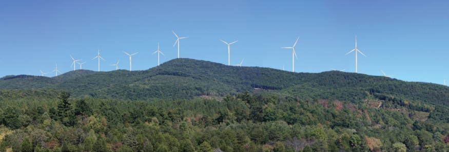
The project will include the installation of 25 turbines (550 feet tall) along approximately 3.5 miles of the southernmost portion of North Mountain. The turbines will be brightly lit and will be visible throughout the Shenandoah Valley. Road construction and turbine placement will require blasting and grading the steep slopes of North Mountain. The project area is located within the Botetourt County Forest Conservation (FC) Use District and is dominated by mature hardwood forest. According to Apex, the Project will have a maximum generating capacity of up to 75 MW of power, which is enough energy to power up to 20,000 average sized homes each year. The power generated by the Project will be fed to the electric transmission grid operated by PJM via the existing transmission lines that cross the property.
In addition to the turbines, an operations and maintenance building will be constructed and operated by approximately 6-8 personnel during normal business hours. The concept plan indicates that the site for this facility will require approximately 5 acres of land that can accommodate a structure “typically up to” 100’ X 65’ with offices and garage spaces as well as parking.
The turbines will be accessed by a 36-foot-wide gravel road. A heavy equipment/construction access gravel road, also 36 feet in width, is shown on the concept plan. The concept plan identifies the limits of clearing and grading as 125 feet in width, parallel to the centerline of the proposed gravel roads. The concept plan identifies clearing widths of approximately 50 feet for the underground electric line connecting turbines identified as 10 through 23, and clearing up to 140 feet for the electric lines connecting turbines identified as 1 through 25.
The subject parcels, and all adjacent property, lie in the Botetourt County Forest Conservation (FC) Use District. The purpose of the FC District is to preserve and enhance the natural appearance and function of the county’s ridges, valleys and forest lands, to maintain the high quality of air and water resources, and to maintain low density of development. The project area is dominated by mature hardwood forest.